Dorchester, South Carolina's Abandoned Town
First established in 1696, this settlement was abandoned after the Revolutionary War.
History books tell us the third settlement in South Carolina was the town of Dorchester, colonized by a group of Puritans who resettled from Dorchester, Massachusetts, to a site on the upper Ashley River in 1696.
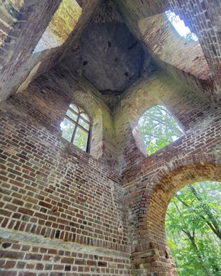
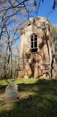
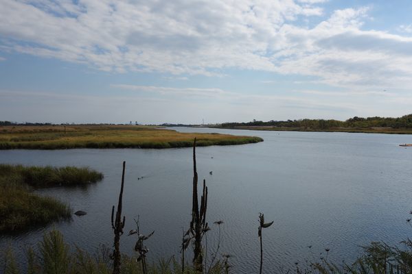
By 1770 the village of Dorchester sported 40 homes, a school, library, a monthly fair, a substantial Congregationalist church, and a fort overlooking a strategic bend in the river. But today, though you will find Dorchester Road and Dorchester County on the map, the town of Dorchester has vanished save for a few ruins in a hard-to-find state park near Summerville. Those ruins tell the story of this once-prosperous town’s birth, short life, and demise.
The Pilgrims who came over on the Mayflower to Massachusetts colony in 1620 named their town “Dorchester” after Dorchester, England. When a group of them sailed to Carolina as missionaries in 1696, they called their new settlement, 18 miles up river from Charles Town, “Dorchester” as well. They built the church first, and then the town. Built at the start of the river’s navigation, boats that drew six feet of water or less could make it from Dorchester to Charles Town to ship deer skins and rice to the seaport.
Old Dorchester was laid out in an orderly fashion with 116 quarter-acre lots between parallel and perpendicular streets. The main thoroughfare was called “High Street” as was traditionally done in small British towns. They left an open area in the town, or common, for a market place.
In 1723 the colonial legislatures approved weekly markets in Dorchester, held every Tuesday and Saturday on the common. Fifty acre farm lots lined the riverbank, and there was a wharf, boat-building facilities and a bridge across the Ashley. By 1748, the town’s population was 3,815, of which 88 percent were enslaved people. Before the Revolutionary War Dorchester’s population declined as people moved away from the swampy river bank to cooler and healthier climes in nearby Summerville, and a large number of settlers relocated to Georgia where more land was available.
Between 1757 and 1760, a tabby (tabby is a mixture of oyster shells, lime and sand) fort containing a gunpowder magazine was built by enslaved people and is still standing today. The wall is 8 feet at its highest and is 2 feet to 2’10” at the bottom. It encloses a rectangular area of more than 10,000 square feet. During the Revolutionary War the fort was a rendezvous point for local militia units who either camped in tents on the common, or were billeted in the town’s largest buildings. The fort first fell to the British, when Charles Town fell in 1780. The British held the fort until 1781, then left, burning the town and driving away most of its remaining residents.
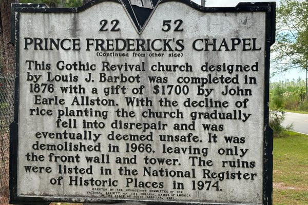
By the early 1800s little remained of the formerly bustling town but ruins of homes, their bricks scavenged for reuse in nearby Summerville. The Great Charleston Earthquake of 1886, whose epicenter was less than a mile from Dorchester, destroyed even the ruins except for the old church tower, its graveyard and the walls of the fort. The site was covered by brush and trees until the “Colonial Dames of America” began to come and clear brush away from the fort in the 1920s.
Today the property is on a state park, with a small unattended building housing explanatory displays of the town that once prospered here.










Follow us on Twitter to get the latest on the world's hidden wonders.
Like us on Facebook to get the latest on the world's hidden wonders.
Follow us on Twitter Like us on Facebook