Fort Peck Dam
This record-setting hydraulic dam in the Montana badlands was one of FDR's most ambitious public works.
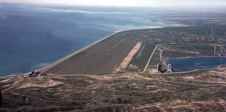
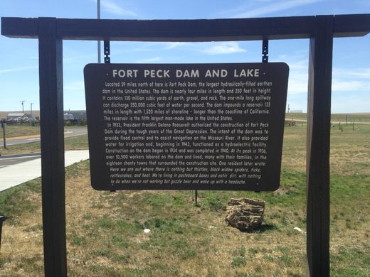
Fort Peck is not your average dam. Over 20,000 feet long and 250 feet high, it is capable of disgorging 250,000 cubic feet of water per second, withstanding the water pressure from a 135-mile reservoir. It creates Fort Peck Lake — the fifth-largest manmade lake in the country which has more shoreline than the California coast — in the Montana badlands.
Fort Peck Dam was featured on the debut cover of Life magazine as FDR’s largest and perhaps most ambitious public works project, putting over 10,000 people to work in a state that, due to severe drought, began its Great Depression 10 years before the rest of the country. It is the largest manmade hydraulic dam in the world.
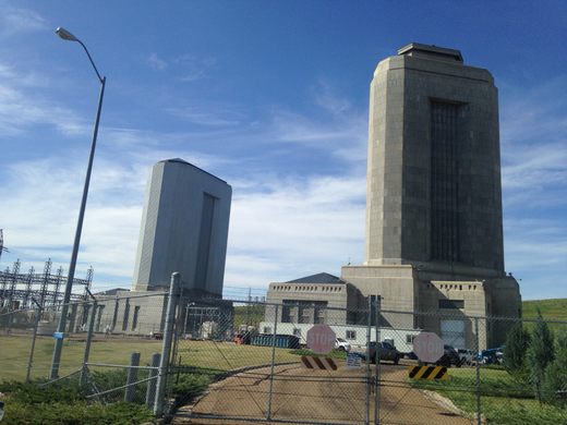
The Army Corps of Engineers built the dam from 1933 to 1940 for flood control, irrigation, water supply and navigating the unnavigable Missouri. (In 1943 they added hydroelectric power into the mix.) Some 200 laborers at the site broke a world record in August of 1935 when they drove steel plates over 160 feet into shale bedrock to create walls that are over two-and-a-half miles long.
Bunkhouses were built for the workers, but Montana law gave hiring preference to men with families, so, in order to accommodate these families and their new money, 18 boomtowns mushroomed in the area, some with names like Delano and New Deal. Fifty thousand people, many desperate for work, converged upon the previously desolate area, today only a few hours from North Dakota’s recent natural gas boom.
In that scrub land of rattlesnakes, ticks and black widows, drinking appears to have been the most popular off-duty pastime. For the November 23, 1936 Life article, Margaret Bourke-White shot some striking photos of the area, including an outtake of a one-legged and apparently armless woman standing in front of a beauty shop, and several of people drinking in front of a sign that says “NO BEER SOLD TO INDIANS.”
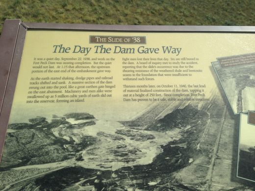
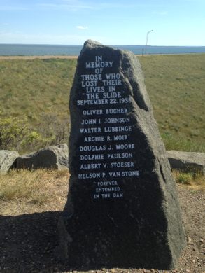
In 1938, tragedy struck. At 1:15 on September 22 the embankment collapsed, sinking railroad tracks and dredge pipes, devouring men and machines, as 5 million cubic yards of dirt slid into the reservoir, creating an island. Eight men were killed; six are still buried there. The shale and bentonite beneath had been unable to endure the force. But two years later, on October 11, 1940, the dam was finished and has since proven to be safe and reliable.
Know Before You Go
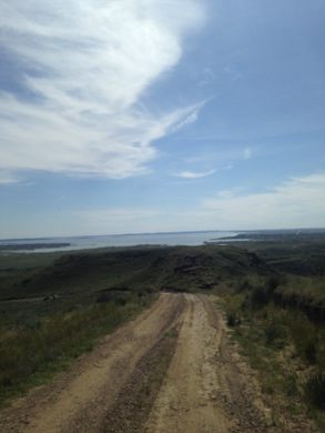
You take your chances when traveling the back roads. My Prius got stuck in a rut going to Milk River Observation Point, so I my back-road exploring ended there. A 4 x 4 should be fine. The fishing is supposed to be excellent.








Follow us on Twitter to get the latest on the world's hidden wonders.
Like us on Facebook to get the latest on the world's hidden wonders.
Follow us on Twitter Like us on Facebook