The Keeling mine is just one of many mines that were excavated for coal in the South Hills outside of Pittsburgh, but an extensive underground tunnel makes it stand out from the rest.
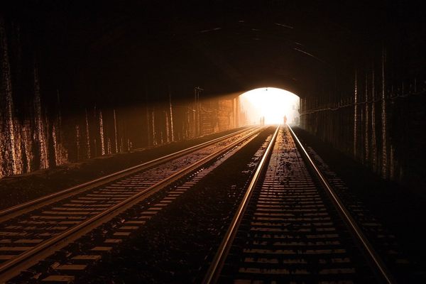
The Keeling mine extended south and crossed two trestles to reach its end point some two miles away in what is now Volunteer Field. After the mine was excavated, a transportation system was put in place to help speed the excavation of surrounding mines. Tracks were laid and steam locomotives brought into the Keeling to haul coal for two miles underground to the mine’s head.
The “coal road,” as it came to be known, passed under three hills, over two ravines, and emerged in South Side Park. Coal from the mine was then transferred to a narrow gauge railroad that ran down the middle of South 21st St.
When the engine house for the coal road burned down just before the lease on the Keeling mine was due to be renewed, the project was abandoned.
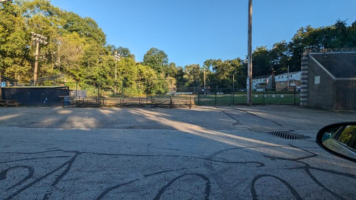
Today, the mine is closed and not accessible to outside visitors, but the southern end is preserved under the baseball diamond at Volunteer Field. The opening on the north end sits inside of South Side Park. Traces of mine waste dumps can still be found between Bruner St. and Wagner St.
Know Before You Go
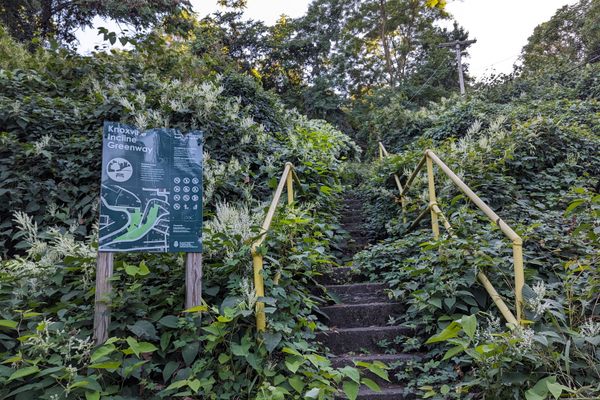
Originally, there was an inclined plane connecting the mine with the streets of the south side of Pittsburgh that ran through what is now South Side Park. The mine continued for two miles underground, crossing Wager St. at Bruner St. and continuing underground to Volunteer Field.


Follow us on Twitter to get the latest on the world's hidden wonders.
Like us on Facebook to get the latest on the world's hidden wonders.
Follow us on Twitter Like us on Facebook