McKendree Cemetery
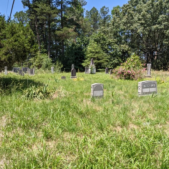
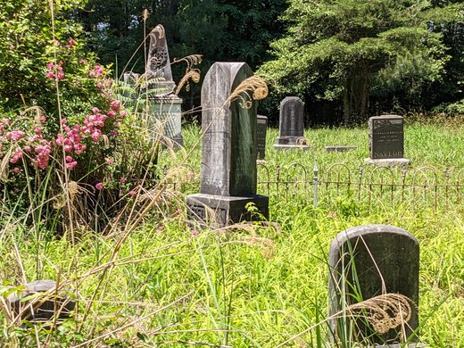
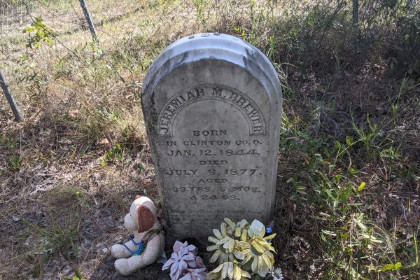
This methodist cemetery is slowly receding into the wilderness along a Maryland highway.
This entry is a stub
Straddling the line between Prince George’s County and Charles County, this poorly maintained cemetery was at one time connected with McKendree Methodist Church, but the church was demolished in 1922.
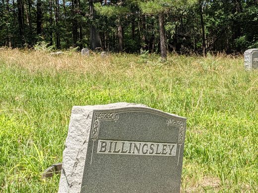
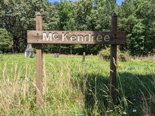
There is a wooden sign facing the highway that reads simply “McKendree” in white letters with a tiny engraving underneath that reads “Circa 1842.” A survey of the markers reveals that was the year of the first burials (two children aged two and six from the Ward family) with the most recent burials having occurred in 1963.
Know Before You Go
From the intersection of Highways 5 and 373, go west on Highway 373 for 2.5 miles.
The cemetery is on the north side of the highway just before it reaches Danville, approximately 600 feet east of Neale Avenue. There is a single unmarked "space" that is just large enough to park a car.









Follow us on Twitter to get the latest on the world's hidden wonders.
Like us on Facebook to get the latest on the world's hidden wonders.
Follow us on Twitter Like us on Facebook