Lest they become an income tax nightmare, the twin cities of Bristol, Tennessee, and Virginia are two separate territories, each in their respective state, but one might be hard-pressed to tell since the dividing line for the cities and the states is a single street that runs through their mutual downtown.
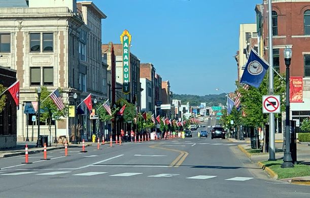
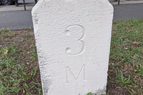
This confusing conjoining began in 1852, when Joseph Anderson bought acreage on either side of the Tennessee-Virginia border, where two railroad lines were planned to meet. He started a town called Bristol on the Tennessee side, with his house being the first building. The settlement on the other side of the border came to be known as Goodsonville after the city’s founder Samuel Goodson. The borders of their lands would help form the city boundaries, but since they abutted each other so closely, the distinction began to seem a bit perfunctory. Goodsonville would officially rename itself Bristol in 1890. As the towns grew, their downtowns would follow State Street, the center of which contains boundary markers between the yellow lane lines.
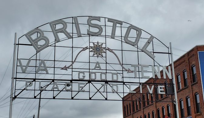
Today the intersecting road is celebrated by both sides of Bristol. Many businesses on either side of the state line have some allusion to “border” in their name and the double-wide thoroughfare is gated by a large sign, proudly proclaiming the stately distinction.







Follow us on Twitter to get the latest on the world's hidden wonders.
Like us on Facebook to get the latest on the world's hidden wonders.
Follow us on Twitter Like us on Facebook